


 © Miestas Neries akimis


The City Through the Neris’ Eyes
-
Dalyvavo renginyje
2026
-
Address
Laivų transporto stotelė: Verslo trikampis / Karaliaus Mindaugo tiltas, Senamiestis
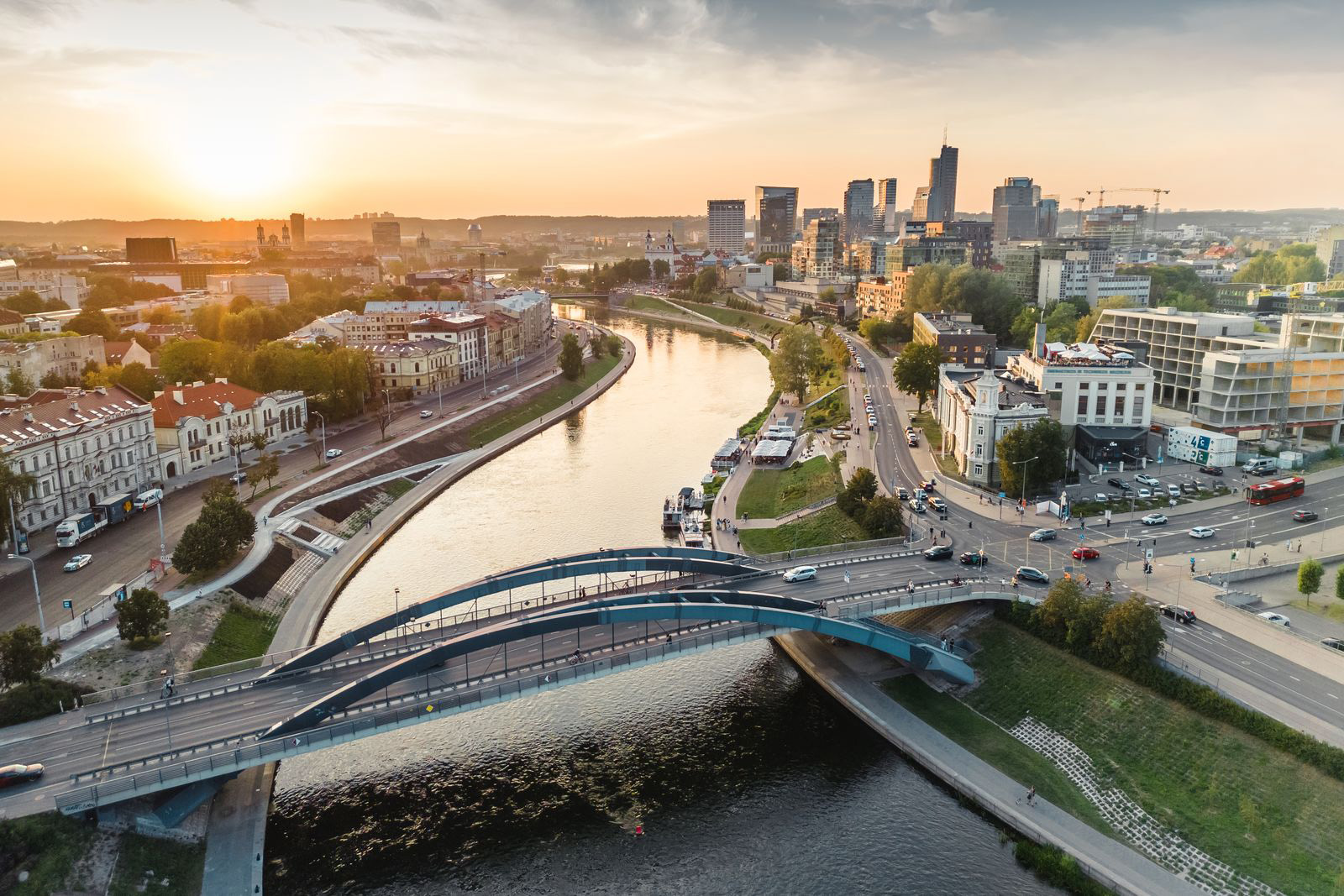
A boat tour along the Neris River offers a unique perspective on how the centre of Vilnius has grown and developed along its banks.
The historic centre of Vilnius emerged on the left bank of the Neris – this is where people first settled, and over time, the city began to take shape. Development on the right bank, by contrast, was long constrained by the river itself and closely tied to the construction of bridges. The building of the Green Bridge in the early 16th century enabled the formation of the Šnipiškės suburb, while the construction of the Žvėrynas Bridge in the early 20th century integrated Žvėrynas into the city’s urban fabric.
The status of the right bank changed fundamentally in the second half of the 20th century, when architects Algimantas Nasvytis, Vytautas Čekanauskas, and Vytautas Brėdikis proposed the vision of the Urban Hill – a new public and commercial district on the right bank of the Neris. This marked the birth of the new city centre, whose development has had a profound impact on contemporary Vilnius.
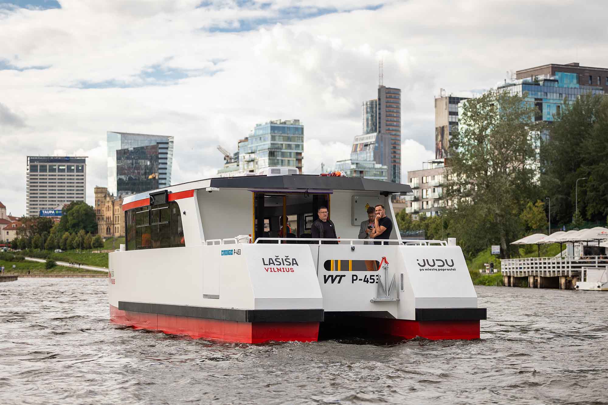
Passenger river transport along this route is operated by the municipal companies JUDU and Vilnius Public Transport.

